
NJ weather finally turns drier, brighter, and warmer this weekend
The Bottom Line
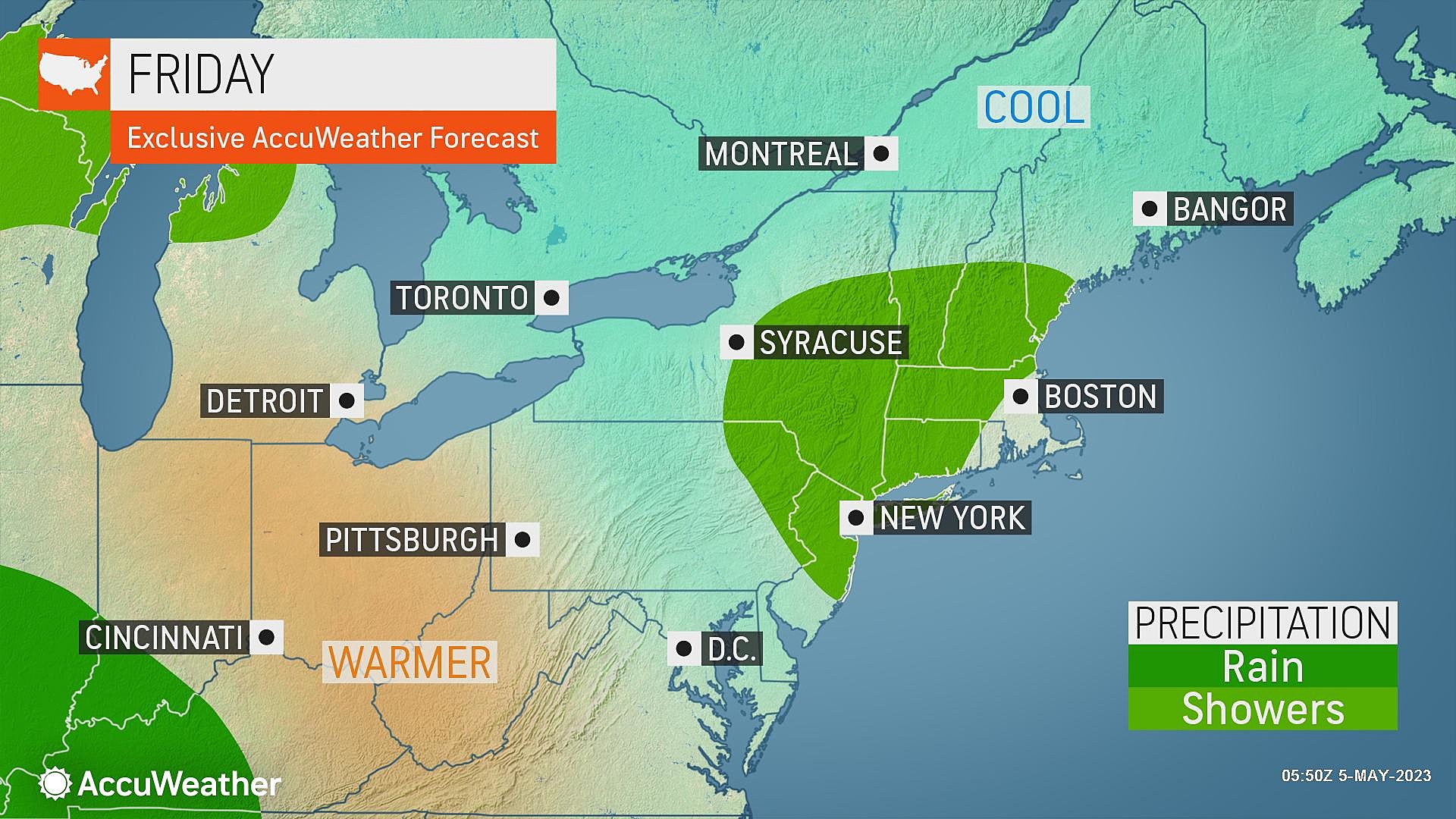
This first week of May has been especially gloomy, damp, and cool. Now it's time for changes. And yes, big improvements will filter into New Jersey for the weekend. That is, after one more shot of rain Friday, providing the final chapter to this unsettled week.
There is some huge weather news worth celebrating. For the first time since December 2021, drought has been completely erased across New Jersey. Thanks to our recent streak of wet weather, the 7% of NJ in "Moderate Drought" and 63% of the state classified as "Abnormally Dry" have been zapped. Hopefully it stays that way.
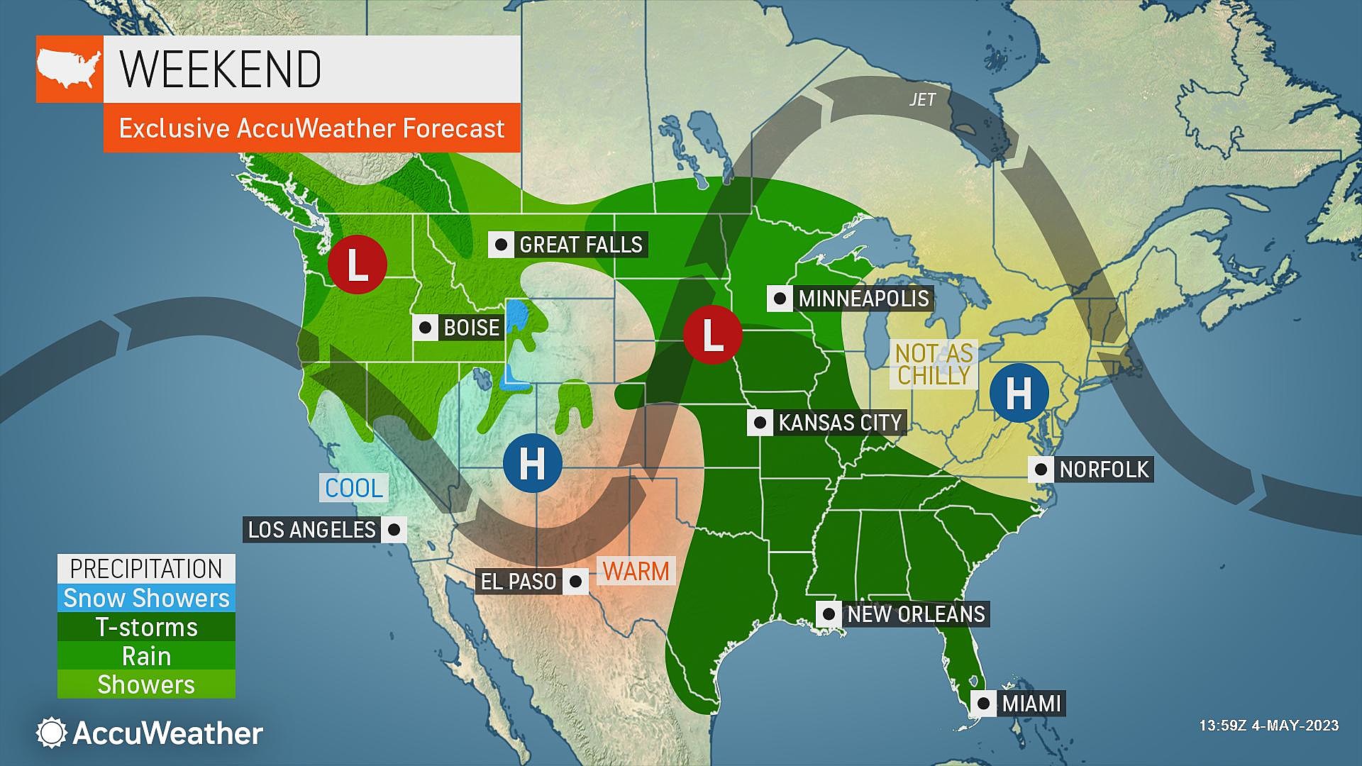
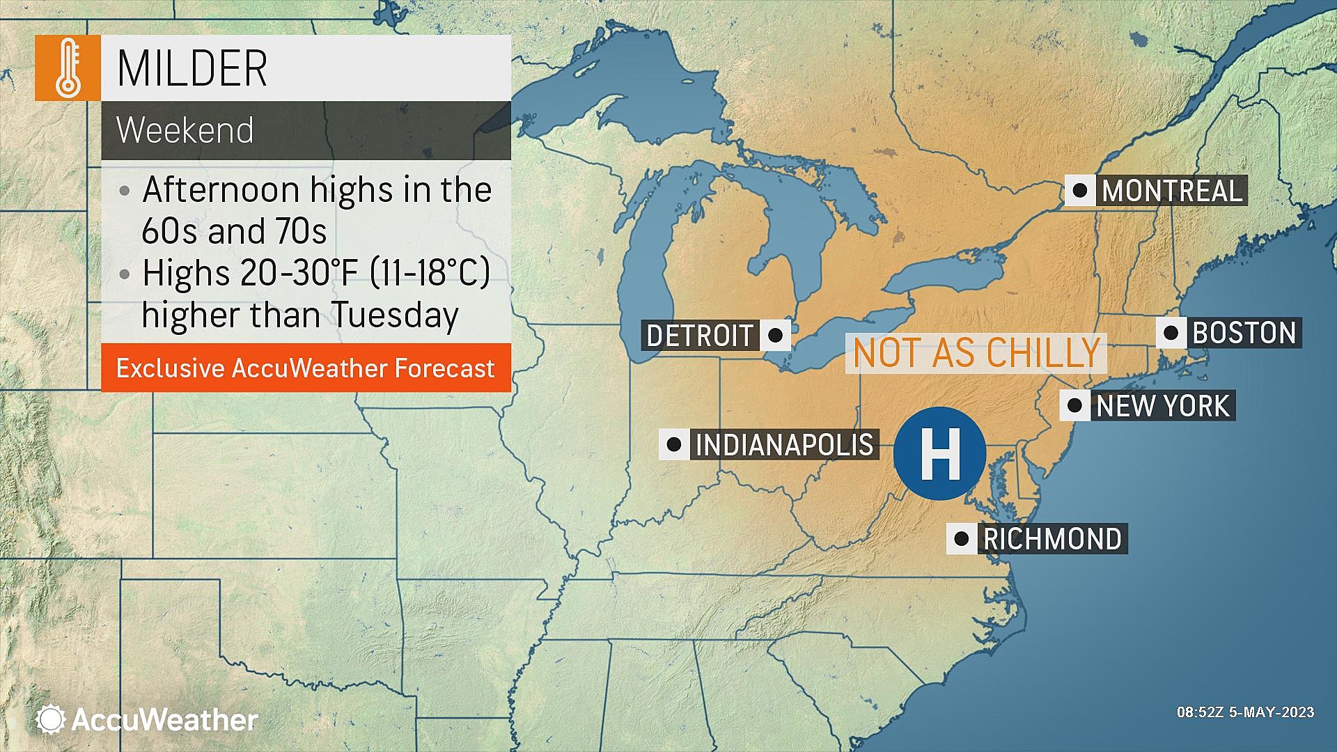
As temperatures warm to near-normal or better this weekend, the sun comes out and we'll enjoy many hours of pleasant weather. However, I do have to pull back on the reins a bit on a totally beautiful time. Latest forecast models now show a batch of showers clipping NJ late Sunday.

Friday
Still unsettled overall, but with a brighter and "happier" sky.
Radar is all clear to start the day, with light winds, patchy fog, and most temperatures in the 40s. Actually, since skies have cleared out in some areas, it is the coldest morning of the week — a few pockets of NJ have dipped into the 30s.
Skies on Friday will range from partly sunny to mostly cloudy. Less murky and dismal than it has been, but still plenty of cloud cover.
High temperatures will make a push for 60 degrees. Not bad — but still about 10 degrees below normal for early May.
One last round of showers and thunderstorms will probably develop over New Jersey Friday afternoon, lasting through early evening. There could be some rumbles of thunder and localized downpours. In general, we're only talking about a scattered tenth-of-an-inch of rainfall here.
Friday night will become mainly clear, calm, and cool. Low temperatures will dip into the mid to upper 40s across the Garden State.
Saturday
All signs still point to a beautiful early May day for Saturday.
Mostly sunny skies will allow high temperatures to reach the upper 60s. Very close to the long-term averages for this time of year — that's what we like to see.
It looks like a completely dry day with light winds. So the weather should not interfere with any of your outdoor plans.
Sunday
There is a lot to like about Sunday's weather. Especially the early sunshine and warming temperatures. But it's no longer a perfect forecast.
Skies on Sunday will progress from sun to clouds, helping high temperatures reach for the lower 70s. (Away from the coast. ) So far so good.
The new wrinkle is a little impulse that is now forecast to dive from the Great Lakes toward New Jersey late-day Sunday. That means I have to include the chance for showers.
I am not totally sold on how impactful those raindrops may become. Nor do I have a good sense for timing, other than to call it "late day". That means showers may creep in as early as Sunday afternoon. More likely, rain holds off until Sunday night.
Monday
Any residual showers should wrap up by daybreak Monday. And then skies will flip right back to sunshine.
Monday looks like a gorgeous spring day, with sunshine, dry conditions, light winds, and highs in the 70s.
The Extended Forecast
Our next batch of rain will come into play late Tuesday, likely as a result of a backdoor cold front. That could result in a cloudier and much cooler day on Wednesday.
But in general, seasonable warmth will be the new norm through the midpoint of May. We'll have more days with highs in the 70s than anything else. There's even a shot at 80+ degrees next week — what a stark difference from this week's depressingly cool weather, huh?
Dan Zarrow is Chief Meteorologist for Townsquare Media New Jersey. Follow him on Facebook or Twitter for the latest forecast and realtime weather updates.
How Many of These Popular New Jersey Attractions Have You Been To?
2023 PNC Bank Arts Center Summer Concert Lineup
More From Rock 104.1