NJ weather: Nice warmup comes with two rain chances over two days
Hello, March! We didn't end February truly snowless, but it was close. Newark Airport closed out the month with only four traces of snow reported — on the 2nd, 8th, 12th, and 29th. The month will probably be one of the warmest Februarys on record for the Garden State. (Probably in the top 5?)
A few days of warmer weather will mix with some raindrops. And there's another storm system worth watching at the end of the week.
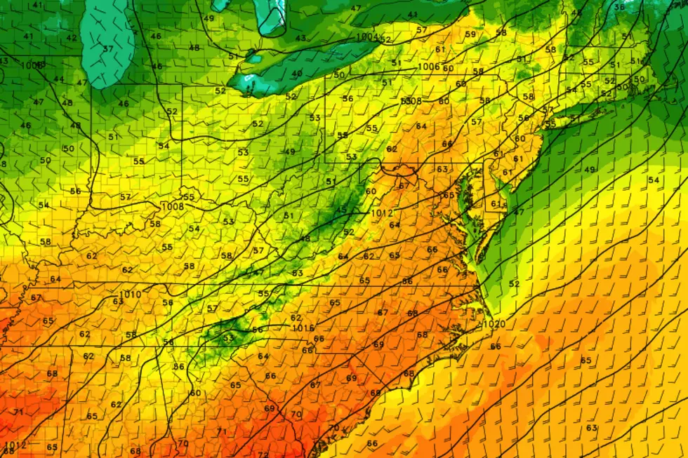
Despite the promise of rising temps, Monday morning is starting off quite chilly across most of New Jersey. Where the air is especially still and dry, temperatures have bottomed-out near 20 degrees. Along the Jersey Shore, thermometers are starting closer to 40.
As warm air surges from the south-southwest, high temperatures Monday afternoon will soar to around 60 degrees. I would push that forecast higher, but clouds will become more and more prevalent as the day presses on. At the same time, this may be one of the first of many spring days where the Jersey Shore ends up a bit cooler, especially for those towns with a southern exposure to chilly water. (Atlantic City to the Delaware Bay, looking at you.)
Having said all that, you'll enjoy nice breaks of sun along the way.
Any threat of wet weather will hold off until Monday late afternoon at the earliest. (Let's say 4-5 p.m.) A quick round of rain showers will likely sweep through the Garden State through Monday evening. It might get a little breezy within or around those showers. Low temperatures will dip into the mid 40s. Well above freezing, so that's why nothing wintry is expected here.
Your Tuesday morning commute should be dry, although skies will be mostly cloudy. Highs on Tuesday will reach about 55 to 60 degrees, slightly cooler than Monday but still well above seasonal norms.
Our second batch of rain arrives Tuesday afternoon. (Let's say 1-2 p.m.) This batch looks wetter overall. And I wouldn't rule out a line of thunderstorms Tuesday evening.
We'll dry out Wednesday. And we'll cool down too, but only slightly — highs will be limiting to the lower 50s. Wednesday will also be a windy day, sustained out of the west at 15 to 25 mph. Skies will clear to at least partial sunshine.
Considering it is early March, Thursday looks good. Morning sunshine will give way to afternoon clouds, with high temps around 50 degrees.
Our forecast gets potentially interesting at the end of the week. As a storm system passes south of New Jersey, at the very least we're facing a cloudy, grey day with seasonably cool temperatures in the 40s. Now, there are some indications this system will curve up the Atlantic seaboard (a la a coastal storm). And if the storm track is just right, dragging down cooler air from the north, there could be a wintry component.
Blockbuster snowfall? No. Debilitating ice? Unlikely. But both the GFS and Euro models are painting some snow and/or wintry mix for New Jersey from Friday night through early Saturday morning. There are some significant differences in track and timing there. And I have big concerns about the availability of cold air and the relative warmth of the air and ground. Worth watching for now.
Assuming that Friday-Saturday system plays out as I just described, the rest of the weekend would be quiet and sunny, with chilly 40s Saturday and mild 50s on Sunday.
More From Rock 104.1


