Wet and wintry NJ weather update: 1/4″ ice north, 2-3″ rain south
There is so much to talk about in this weather forecast. From drenching rain to icy mix. From near-record warm to bone-chilling cold. Let's dive in!
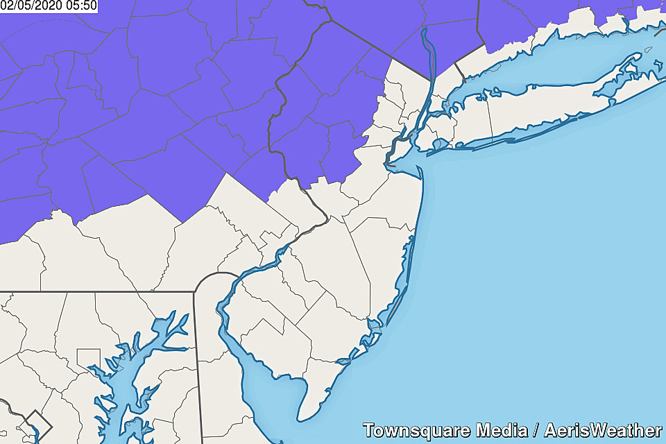
On this Wednesday morning, we're seeing some scattered rain showers passing through central and southern New Jersey. By mid-morning (let's say about 9 a.m.) this latest batch of rain will have departed. And the rest of Wednesday will be mainly dry, with just a few sprinkles possible.
While Tuesday's temperatures broke records (69 degrees in South Jersey), temperatures will be significantly cooler for Wednesday afternoon. Thermometers will hover in the 40s all day, with cloudy skies and generally damp and dreary conditions.
Once the clock ticks past about 6 p.m. Wednesday evening, we'll be watching the western sky for our next round of wet weather. And this one is going to last a while, drenching the Garden State through the rest of the workweek.
In addition to rain, temperatures will likely be cold enough in northwestern New Jersey Wednesday night to sustain some icy mix. And by that, I mean freezing rain and sleet. The biggest risk for icy weather will be north of Interstate 78 and Interstate 287.
A Winter Weather Advisory goes into effect from 10 p.m. Wednesday to 10 a.m. Thursday for Sussex, Warren, Morris, Somerset, Hunterdon, and western Passaic counties. The advisory calls for up to a quarter-inch of ice accumulation. I believe that is a worst-case scenario. Even a tenth of an ice of ice is heavy enough to bring some trees and power lines, and create some truly treacherous travel conditions. So even though conditions have to be perfect for worst-case freezing rain to occur, this piece of the forecast is absolutely deserving of extra attention.
If you are not in that northwest corner of the state, things are looking wet and not really wintry. Periods of steady to heavy rain will persist throughout Thursday — it could very well be a total washout of a day. Models have suggested upwards of 2 to 3 inches of total rainfall — flooding may become an issue. The biggest rainfall totals are expected in South Jersey. And don't be surprised if you hear a rumble of thunder late Thursday too.
Meanwhile, warm air will try to bubble up from the south again. So we'll probably see a wide range of temperatures Thursday afternoon — varying from the upper 30s in North Jersey to the lower 60s in South Jersey. Where will the line between "cold" and "warm" end up? Impossible to tell, unfortunately.
The steady rain looks to continue through at least Friday morning, with this storm system finally unhinging Friday afternoon. As a brisk northwesterly wind causes temperatures to nosedive Friday, we could see brief period (an hour or two) of snow too.
Our weather finally settles down on Saturday. It will be a mostly sunny, but cold, start to the weekend. Highs will be limited to the mid to upper 30s — that is below-normal for early February.
We had been watching a little shot of snow and rain for Sunday. The latest forecast models have backed off that idea, showing a fizzling block of snow and rain passing through New Jersey. It has not necessarily turned into a dry weather forecast. But we're not facing anything overly dramatic or impactful at this time on Sunday.
I close this weather blog by wishing my fellow meteorological professionals a Happy National Weatherperson's Day! May all your skies be sunny, and all your forecasts be accurate!
Dan Zarrow is Chief Meteorologist for Townsquare Media New Jersey. Follow him on Facebook or Twitter for the latest forecast and realtime weather updates.
More From Rock 104.1